


Double click image to zoom in


Click image to open expanded view
Bundle & Save
Hand-Drawn Map Bundle - 4 for $100
$120.00

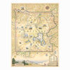

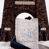

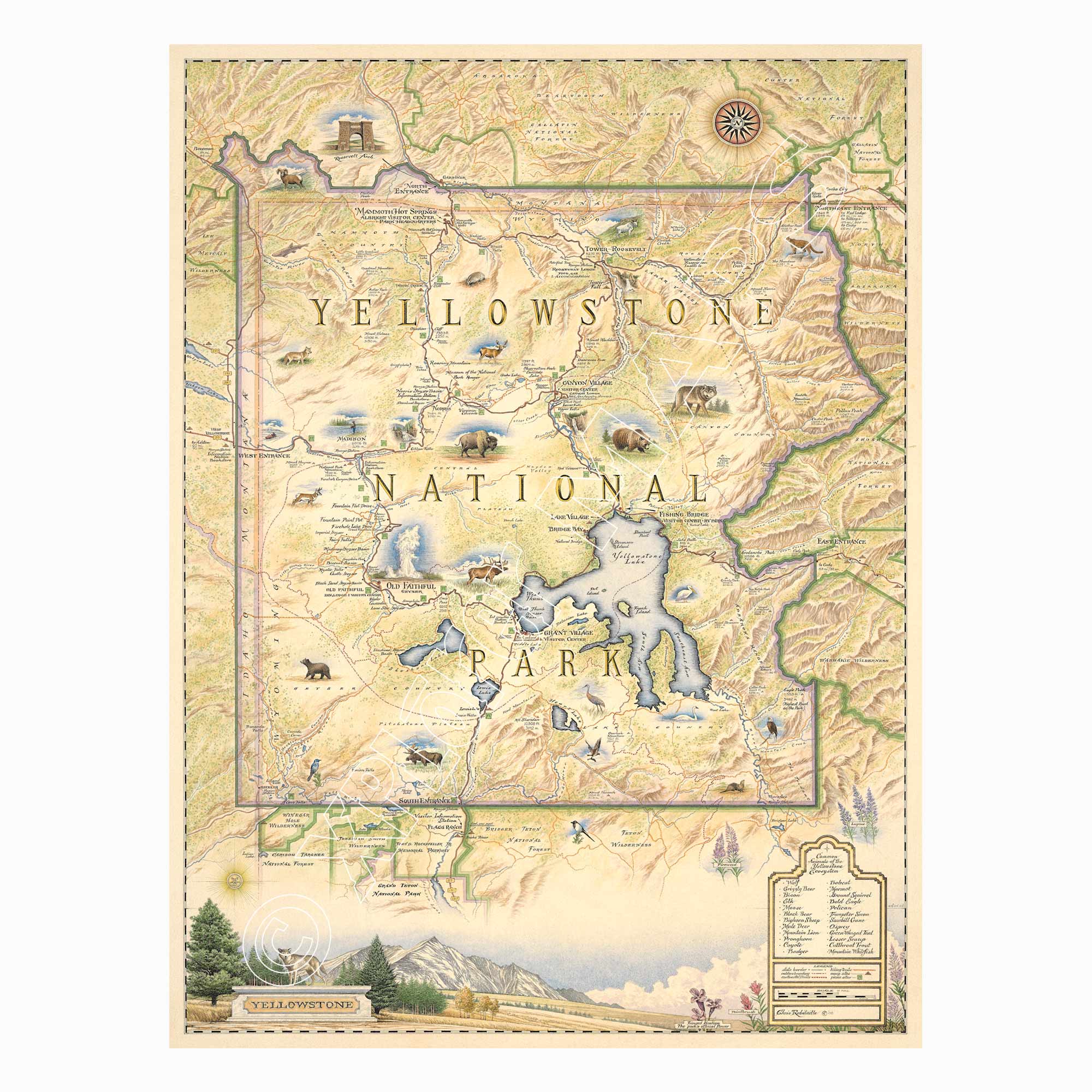
Home to the world's largest concentration of geysers, vast alpine valleys, roaming bison, and steaming geothermal landscapes, Yellowstone National Park has inspired generations of explorers. This original hand-illustrated map celebrates America's first national park through intricate pen and ink artwork enhanced with watercolor detail.
Created by Xplorer Maps artist Chris Robitaille, the map highlights Yellowstone's iconic destinations including Old Faithful, Yellowstone Lake, Mammoth Hot Springs, Grand Prismatic Spring, the Grand Canyon of the Yellowstone, Tower-Roosevelt, Lamar Valley, and many of the park's extraordinary wildlife habitats.
Whether you've watched wolves in Lamar Valley, photographed erupting geysers, or dream of visiting someday, this museum-quality lithographic print is a lasting tribute to one of the world's most extraordinary landscapes.
Our on-line store is open 24/7 and we ship Monday through Friday, excluding some holidays. Orders received for products without shipping restrictions on its product page will ship the same business day when received before 12:00 p.m. PST. Orders in high demand will have an estimated production time listed on its product page and will ship according to the date listed.
The Xplorer Maps Warehouse Team strives to ship every order within 1 business day.
For custom orders (including framing), please allow 3-4 weeks for shipping.
Xplorer Maps ships all over the world, but prices and shipping times vary according to state, country, and the weight of items purchased. International recipients are solely responsible for any fees such as, but not limited to, VAT or import duties.
All prices will be charged according to your destination at check-out. This information is shown before your credit card is charged and you can click on the "calculate shipping charges" once an item has been placed in the cart to see the exact shipping based on your zip code.
We ship with UPS and USPS. Expedited shipping options are available at checkout.
Please be aware that despite our prompt shipping, factors beyond our control may occasionally lead to delays in the arrival of your order. For additional questions regarding shipping please email us at: store@xplorermaps.com